


Geology
The Polcenigo Geodissemination Project

The Polceni-Geo project
A treasure chest of geodiversity: the geosites of Polcenigo in virtual reality
The Municipality of Polcenigo holds an extraordinary geological heritage: the Livenza River springs and the Col dei S’cios reef complex are listed in the Regional Geosite Register of Friuli Venezia Giulia, joined by the Dinosaur Footprint discovered in 2018 between Mezzomonte and Candaglia.
With the Polceni-Geo project, launched in 2025 and continued in 2026, the Municipality has created the polcenigeo.it portal: five geosites told through 109 360° photospheres, an audio guide, 3D models of fossils, a trail map with GPS tracks, the new bilingual pocket guide, school materials and virtual reality headsets to step inside the geosites.
Enter the polcenigeo.it portal →Browse the 2026 guide
This initiative was implemented with the contribution of the Autonomous Region of Friuli Venezia Giulia – Geological Survey, pursuant to Regional Law 15/2016 on the protection and enhancement of geological heritage.
Project curated by geologist Dr. Barbara Grillo and Divulgando Srl.
New for 2026 · Pocket guide
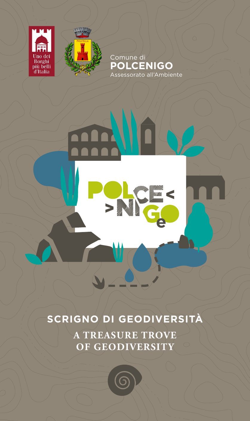
A treasure chest of geodiversity
The new, fully updated guide: 64 pages in Italian and English with maps, illustrations and in-depth content on the five geosites of Polcenigo, from the Livenza springs to the abysses of the Cansiglio.
Texts by Barbara Buttignol, Barbara Grillo and Rodolfo Riccamboni · drawings by Barbara Buttignol · translations by Paul Tout.
Browse the guide online →Download the PDF (25 MB)The five geosites
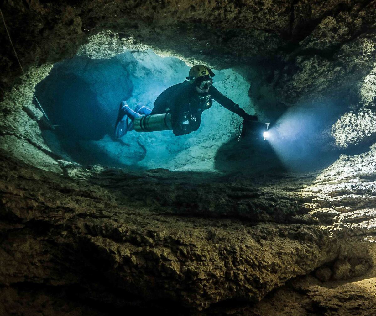 1Photo K. Starnawski, 2019
The Livenza River springs
A geosite of national importance
Gorgazzo, Santissima and Molinetto rise at the foot of the Cansiglio–Cavallo massif and give birth to the Livenza. The Gorgazzo is one of the deepest submerged karst systems in Italy.
Explore the geosite →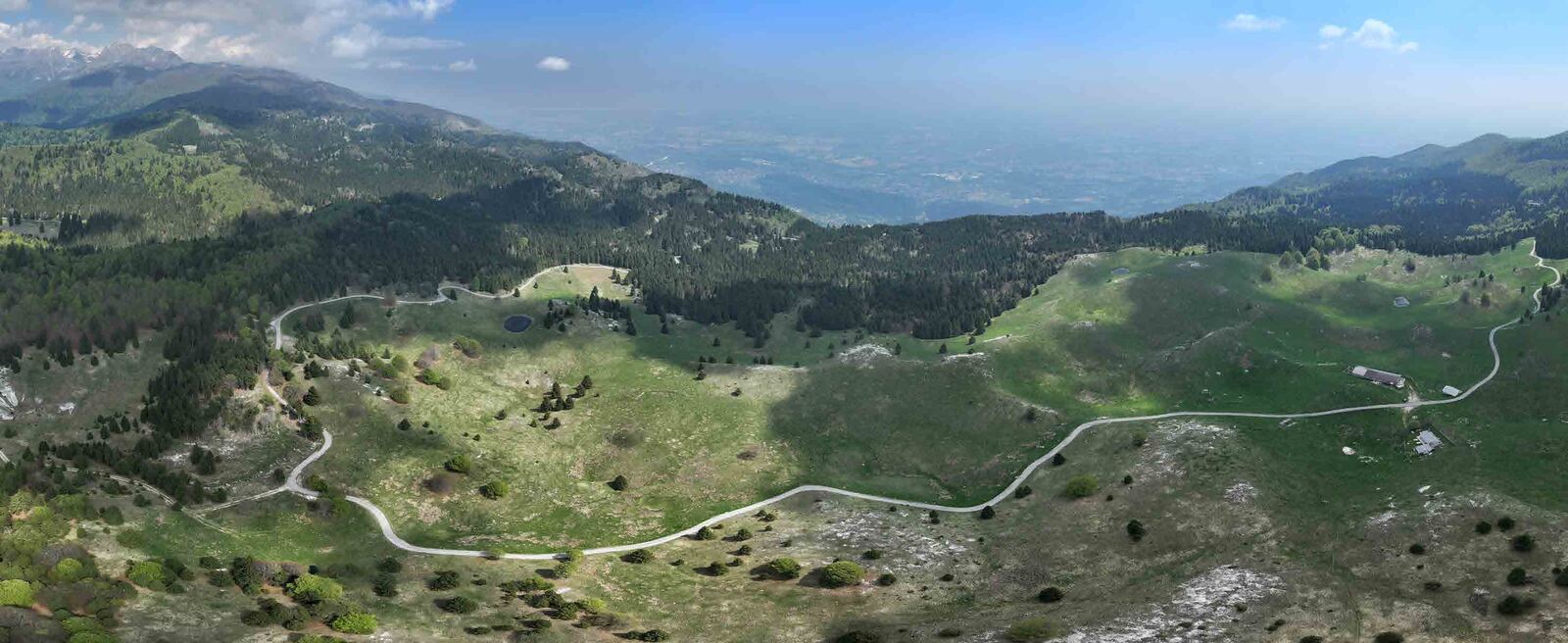 2
Monte Cavallo Limestone Formation
Col dei S’cios reef complex
Limestones rich in fossil rudists, ancient reef builders: Col dei S’cios, Mezzomonte and the Buselonghe Abyss.
Explore the geosite →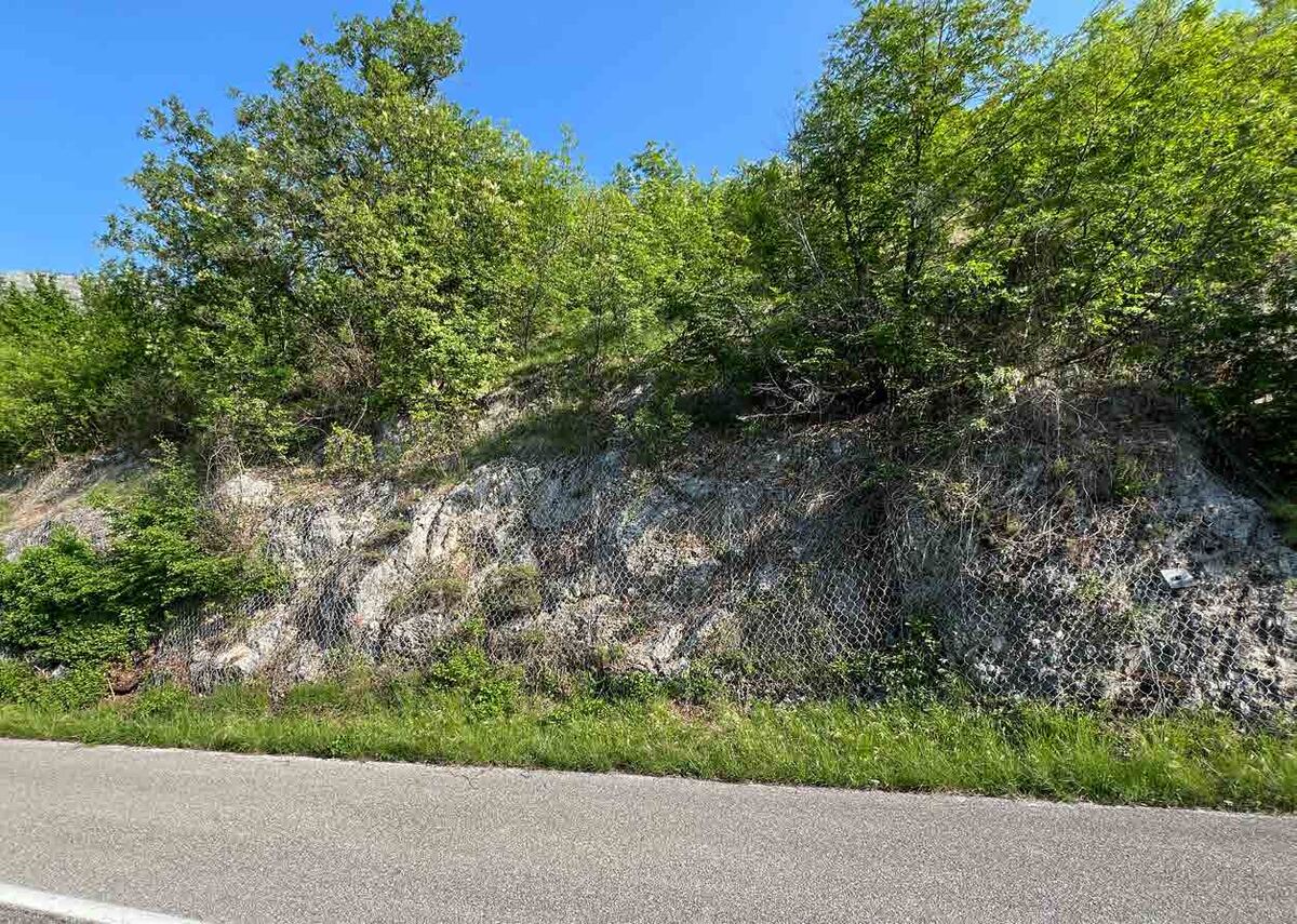 3
The Polcenigo limestones
The Jurassic coral reef
Evidence of an ancient tropical reef that grew 155 to 150 million years ago, when Polcenigo lay at the bottom of the sea.
Explore the geosite →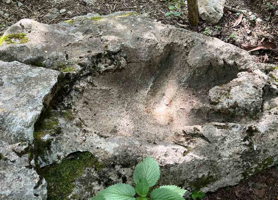 4
The dinosaur footprint
Beppino, the second footprint of the Cansiglio
The footprint of a large theropod dinosaur, found in 2018 on the slope between Mezzomonte and Candaglia.
Explore the geosite →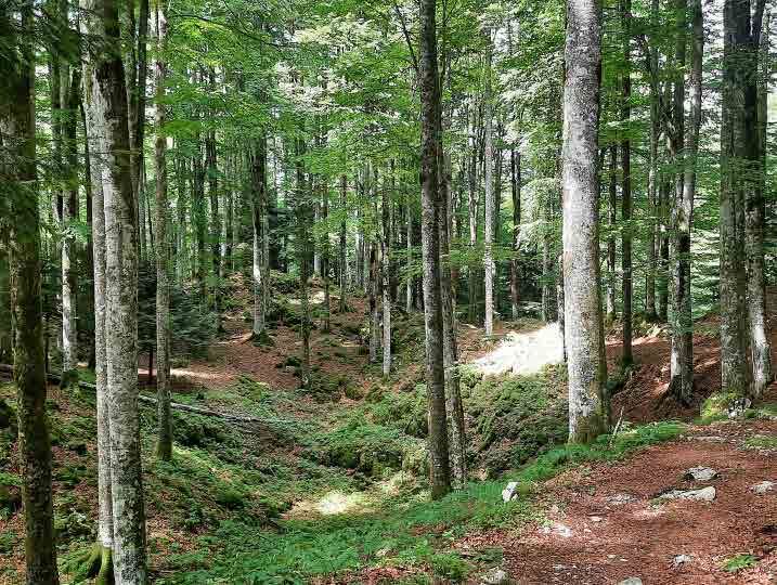 5
Cansiglio sinkholes and abysses
Emblem of the karst of the Serenissima Forest
Sinkholes and deep abysses, from the Bus de la Lum to the Col della Rizza Abyss, the deepest cave in western Friuli (-794 m).
Explore the geosite →For teachers and students
Learning about geodiversity
Downloadable teaching kits, experiments and picture quizzes to discover how the landscapes of Polcenigo were formed.
Recommended for primary school (years 4–5) and lower secondary school. No registration needed: the quizzes work on computers, tablets and interactive whiteboards, and results can be printed with name and class.
polcenigeo.it
Explore the portal
All the sections of the portal, from 360° tours to school materials.
Geo-excursions 2025 · 2026
The excursions we did together
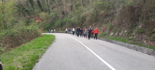
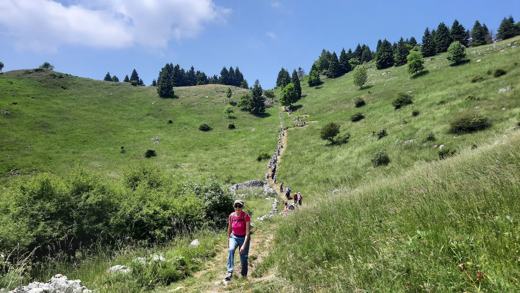
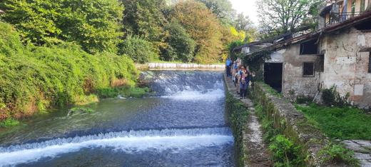
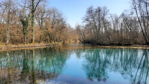
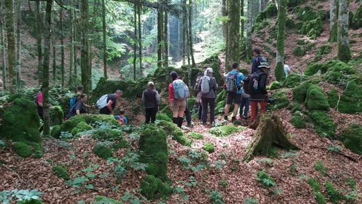
From the Livenza springs to the abysses of the Cansiglio: the free geo-excursions organised by the Municipality of Polcenigo, with stories, photos and trail tracks.
Where the history of the Earth is written in the rocks: put on the headset and step into the geosites of Polcenigo.
Visit polcenigeo.it →Municipality of Polcenigo · project curated by geologist Dr. Barbara Grillo and Divulgando Srl · with the contribution of the Autonomous Region of Friuli Venezia Giulia, Regional Law 15/2016